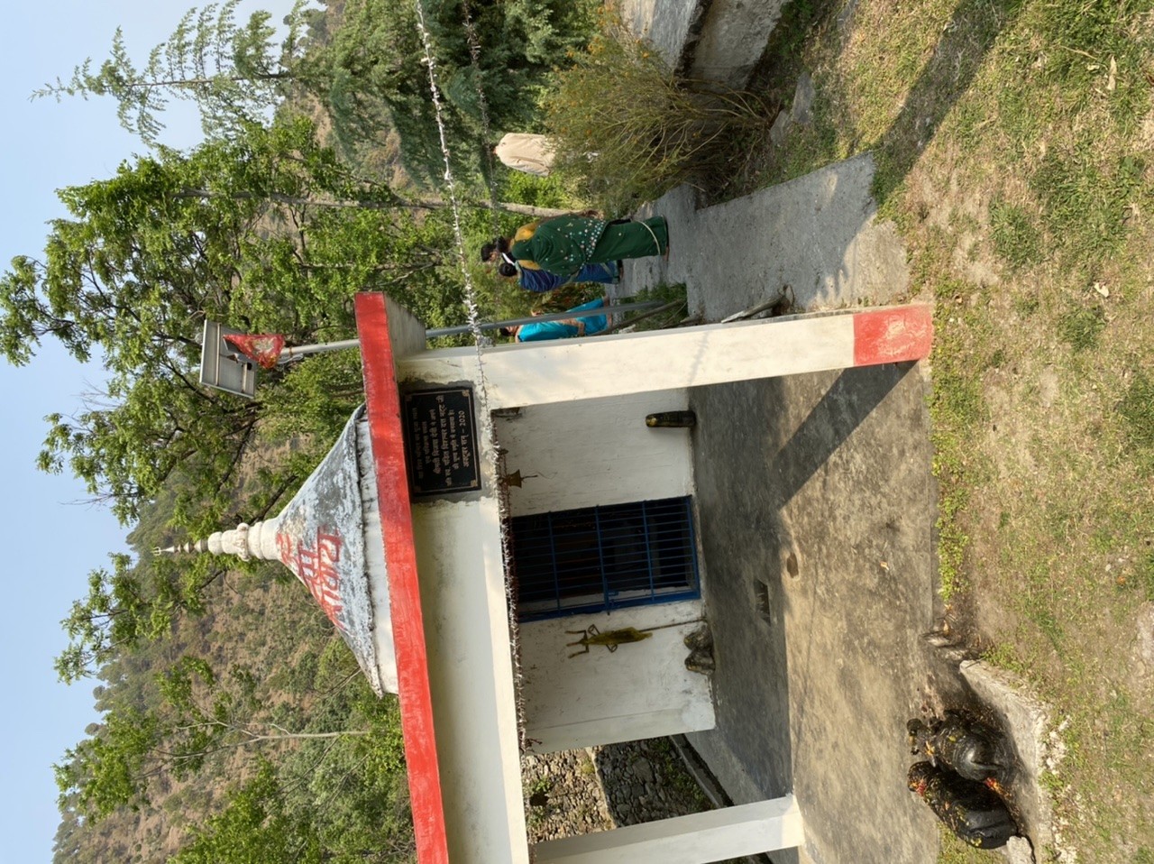
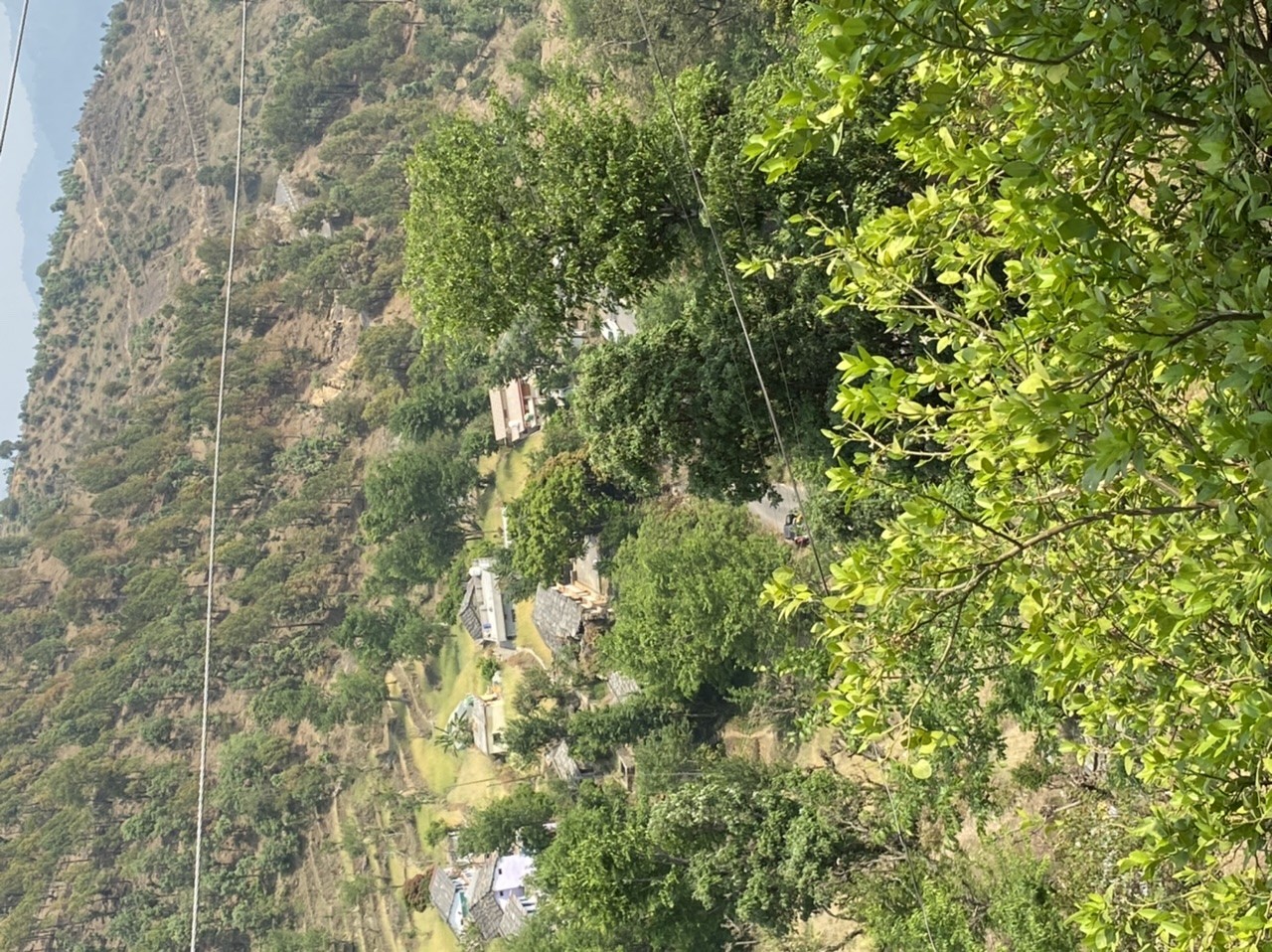
Tat village is located in Jakholi block and Jakholi tehsil of Rudraprayag district. It comes under Tat gram panchayat. The geographical area of Tat village is 120.28 heactares.
Tat village in Rudraprayag district has a total population of 500 comprising of 112 families that reside in Tat village. The village has a male population of 229 and female population of 271. The sex ratio of Tat village is 1183 which is higher than the Uttarakhand average of 963. In Tat village, the population of children within age group of 0-6 yrs is 77. The child sex ratio of Tat village is 833 which is lower than the Uttarakhand average of 890.
| Population | 500 |
| Males | 229 |
| Females | 271 |
| Sex Ratio | 1183 |
| Children (0-6) yrs | 77 |
| Children - Male | 42 |
| Children - Female | 35 |
| Child Sex Ratio | 833 |
| Literacy | 78.01% |
| Households | 112 |
| SC Population | 94 |
| ST Population | 0 |
Terms Used
Sex Ratio: It is a ratio of number of females per 1000 male. Calculation (No. of Females/ No. of Males)x1000

| Working Population | 231 |
| Main Workers | 66 |
| Main Cultivator | 34 |
| Agri Labourers | 2 |
| Marginal Workers | 165 |
| Marginal Cultivators | 164 |
| Non Working | 269 |
| Non Working Males | 139 |
| Non Working Females | 130 |
Terms Used
Main Workers: People who have worked for MORE than 6 months (183 days) in a year.
Marginal Workers: People who have worked for LESS than 6 months (183 days) in a year.
Main Cultivators: People who are the owner/co-owner of the land and engaged in cultivation.
Agri Labourers: Those who worked on other's land for wages.
Below are the educational facilities available at Tat village in Rudraprayag district. Indicates the number of Primary Schools, Middle Schools, Secondary Schools, Senior Secondary Schools and Colleges in and around Tat village.
| Primary Schools - Govt | 1 |
| Nearest Middle School Location | Jakholi, <5 kms |
| Nearest Sec. School Location | Sidhsaur, <5 kms |
| Nearest Sr. Sec School Location | Sidasaur, <5 kms |
| Nearest Arts/ Sc. Degree College | Augustmuni, 10+ kms |
| Nearest Engg. College | Pauri, 10+ kms |
| Nearest Medical College | Srinagar, 10+ kms |
| Nearest Polytechnic | Ratura, 10+ kms |
| Nearest Vocational/ ITI | Rudraprayag, 10+ kms |
This date is based on 2011 Census.
Below are the Health facilities available at Tat village in Rudraprayag district. Indicates the number of Community Health Centres, Primary Health Centres, Hospitals and Dispensary in and around Tat village.
| Nearest Comm. Health Centre | 10+ kms |
| Nearest Pr. Health Centre | 10+ kms |
| Nearest Maternity Centre | 10+ kms |
| Nearest Hospital - Allopathic | 10+ kms |
| Nearest Dispensary | 5-10 kms |
| Nearest Mobile Clinic | 10+ kms |
| Nearest Family Welfare Centre | 10+ kms |
This date is based on 2011 Census.